Mild weather to return to Aylesbury Vale after gusts of Storm Isha, says forecaster
and live on Freeview channel 276
The weather in the past week has seen a dramatic change from cold but generally settled conditions to milder but very unsettled conditions. With high pressure situated to our north and west, northerly winds continued to bring Arctic air in across the UK. This saw further snow showers across Scotland and some coastal areas, however over the Aylesbury Vale it brought dry and sunny weather. With clear conditions in place this allowed Wednesday and Thursday night to become particularly cold with minimum temperatures falling well below zero with minimum temperatures as low as -11c in Benson, Oxfordshire on Wednesday night, while Buckinghamshire saw temperatures as low as -8c in spots.
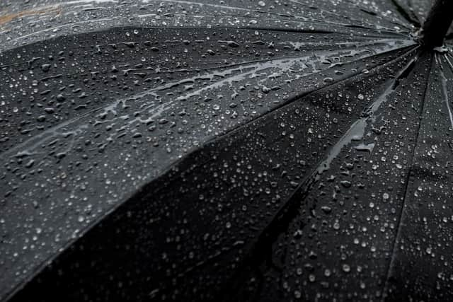
It remained cold on Friday (19 January), however as we entered the weekend, we saw an abrupt change to unsettled conditions as high pressure sank southwards into Europe which allowed low pressure to move in off the Atlantic. On Sunday, a particularly deep area of low pressure named as storm Isha
Advertisement
Advertisement
brought very strong winds and heavy rain across the UK. Gusts as high as 90mph were recorded in Capel Curig in North Wales, although gusts in excess of 50mph were widely recorded across the country, including in Buckinghamshire, which saw many tree branches down, leading to debris on the roads.

Storm Isha characterises how unsettled this autumn and winter have been so far, with Isha being the ninth named storm by the Met Office this season. This makes it the stormiest season up to this date since the Met Office began naming storms in 2015, and a stark contrast to last season, which saw just two named storms; and they both occurred in August of last year! The dramatic change this season has likely been driven by the strength and position of the Jet Stream which has fuelled and propelled numerous deep areas of low pressure our way.
During the rest of this week, it is expected to remain generally mild and unsettled across our area, although some brief drier and cooler interludes may be possible in between any areas of low pressure.