Forecaster on why the arctic plunge makes predicting Aylesbury Vale weather difficult
and live on Freeview channel 276
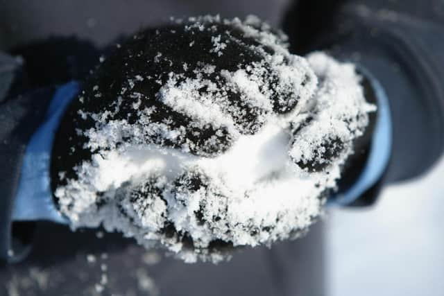
Temperatures plummeted across the Aylesbury Vale over the past few days, falling several degrees below the average for January. An area of high pressure, which was centered across the UK last week migrated towards the north-west allowing a cold flow of air from the Arctic to surge southwards at the weekend.
The brisk northerly winds pushed frequent heavy snow showers into northern Scotland, as well as some coastal areas in the west and east, but mainly areas inland have seen dry, fine and cold conditions. A small area of low pressure moved eastwards across the northern half of the UK on Tuesday, which produced a spell of more organised sleet and snow.
Advertisement
Hide AdAdvertisement
Hide AdForecasting snowfall during the winter in the UK is a challenge for forecasters and there are a number of reasons as to why this is the case. As an island nation, we are surrounded by relatively warm seas and temperatures are often close to or just above freezing, which means we often see a mixture of rain, sleet or snow unless the air is cold enough.


The intensity of the precipitation can also have an impact. The heavier the precipitation, the more likely it is to cool the air and remain as snow at the surface.
The UK’s heaviest falls of snow often occur when warm moist air bumps into colder air which is already in place. There is usually a fine line between which areas will see snow or rain. Forecast models can struggle with this detail and it may not be clear until only a few hours before the event itself.
The next few days will see the cold conditions persist with plenty of dry weather and widespread sharp overnight frosts. However, an abrupt change to milder and more unsettled conditions through the weekend and into next week is expected.
The Met Office has confirmed the UK is in the grip of a cold plunge of Arctic air, this airflow started in the north of the country and moved southwards to affect the rest of the nation.