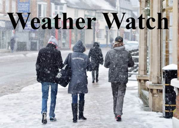
Weather Watch: There could be more snow to come


However, this snowfall event pales into insignificance compared to the snowfall seen so far this calendar year across large parts of the Alps.
Following Storm Eleanor, which tracked through the UK and then into mainland Europe, during the first week of the year, conditions have remained broadly unsettled since, with several bouts of heavy snowfall, primarily focused in the French, Italian and southern Swiss Alps.
Advertisement
Hide AdAdvertisement
Hide AdResorts in these areas reported well over a metre of fresh snowfall in just 24 hours early last week.
The Swiss resort of Zermatt had near two metres of snowfall in less than 48 hours, an amount far more than we’d expect to see in a decade!
While the amounts of snow have done wonders for the base depth of the pistes in this part of the world (over three metres on some higher areas), the heavy snow was accompanied by strong winds and avalanche warnings, meaning that some lifts and pistes were closed at many resorts for a time last week.
Conditions improved late last week, as high pressure built, with good skiing conditions reported for many of these resorts, but further snowfall is expected this week.
Advertisement
Hide AdAdvertisement
Hide AdSo, can we expect any of the white stuff here in the Vale this week?
Well, it’s not impossible, as blustery showers drift in from the west, although significant accumulations of snow are not expected.
It will be windy to begin with before likely settling down at the weekend, while remaining on the chilly side throughout.