
Buckinghamshire travel writer explores Britain's borders in new book
In my book, I trace the route of this old border along Watling Street.
When I was growing up in the market town of Buckingham, I never realised I lived along a border.
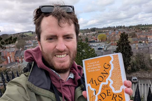

There were no checkpoints, of course. No customs or immigration officers. No signs announced when you crossed from one world to another, when you traversed this boundary. But when I was researching my new book, Along the Borders: In search of what divides and unites the British Isles, I discovered that my home town - and much of Buckinghamshire - sits on one of England’s most important historical frontiers.
Locals will be familiar with the concrete route of the A5 dual carriageway, which passes through the suburban shadows of Milton Keynes. The modern A5 follows the route of an old Roman road named Watling Street, and in the 9th century AD, this road became the border between two worlds.
This was a time when England as we know it today didn’t exist, and during the Viking invasions, vast swathes of territory to the north of Watling Street were conquered by these seafaring raiders. The Vikings, or Danes as they were known, came to stay, and Watling Street was established as the boundary between ‘The Danelaw’, the place to the north where Danish law was in force, and the surviving Anglo-Saxon kingdoms to the south, who were led by that most famous of English kings, Alfred the Great.
Buckingham sat right on this border, and King Alfred is thought to have built a fortified ‘burh’ in the town to defend against future Viking incursions. In my book, I trace the route of this old border along Watling Street, discovering how King Alfred, then his son and grandson, eventually pushed the invading Vikings back. Alfred dreamed of uniting all of the English-speaking peoples of Britain under one nation, the nation that we know today as England, of course. But to do that, he needed the threat of the Vikings; he needed the border to unite England.
My journey took me from Buckingham and into the Midlands, where I discovered a Danish legacy that still lingers on in places like Leicester, Tamworth and Lichfield. Many everyday English words come from Old Norse. So do countless place names. Villages ending in “-by” or “-thorpe” often reveal old Scandinavian settlement. Even the word “law” itself has Viking roots.
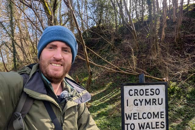
This was all part of a wider journey, explored in the book, where I attempt to understand modern Britain through its often ancient borders. I travelled through hundreds of miles of borders, boundaries and frontiers, by bus, boat, plane, train, car and on foot. I explored the River Tamar, an ancient divide between Devon and Cornwall, I hiked Offa’s Dyke in the Welsh Marches, road tripped the Scottish and Irish borders, and travelled to the most northerly isles of Shetland.
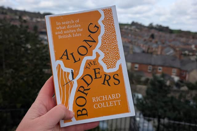
As a professional travel writer, I’ve always been drawn to the edges of countries, and I wondered if Britain’s borderlands could teach us what, historically, united our nation, and potentially, what could keep us together in an increasingly divided age. After 5 years of travel, research and writing, Penguin Random House published the book earlier this month.
It’s now available from all good bookstores:
https://www.penguin.co.uk/books/462381/along-the-borders-by-collett-richard/9781529935882