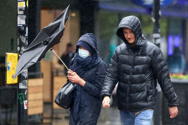
‘Gusts of up to 75mph’: weather forecast as Storm Arwen to bring strong wind and snow


Forecasters have warned of travel chaos as Storm Arwen, the first winter storm of the year, is set to batter parts of the UK with 75mph winds.
With multiple weather warnings in place across the UK, this is everything you need to know.
Advertisement
Hide AdAdvertisement
Hide AdWhat has the Met Office said?
Principal Meteorologist at the Met Office Dan Suri said: “Storm Arwen is associated with a deep low pressure system that will impact the northeast in particular from Friday, but will also bring wider impacts to the UK with high winds, rain and some snow probable over the high ground.
“Storm Arwen’s impacts are mainly associated with high winds as the storm sinks southwards and will widely bring gusts of up to 65mph in coastal areas, although slightly stronger in the northeast, with in excess of 75mph possible in exposed locations.”
Sunday is generally expected to bring a drier day for many, except for some lingering showers over the eastern coasts of England and Scotland.
However, some wet weather is due to move into the far west later on in the day, potentially preceded by some sleet and hill snow over Northern Ireland.
Advertisement
Hide AdAdvertisement
Hide AdWhat weather warnings are in place?
The Met Office has issued a number of weather warnings as Storm Arwen is set to batter the UK over Friday (26 Nov) and Saturday (27 Nov).
On Friday, there is:
- A yellow wind warning which covers Scotland, Northern Ireland and the west of England and Wales
- An amber wind warning for northeast Scotland and England
- A yellow snow warning for part of Scotland
On Saturday, there is:
- A yellow wind warning which covers almost the entirety of the UK, apart from the southeast of England
- An amber wind warning for northeast Scotland and England
The Met Office says that the amber wind warning will run from 3pm on Friday to 9am on Saturday, with “the strongest winds expected in coastal locations, where gusts in excess of 75mph are possible in some places”.
Temperatures over the weekend are also set to drop, with a UK Health Security Agency Level 2 cold weather alert issued in England.
The alert states: “There is a 60% probability of severe cold weather between 1800 on Friday 26 Nov and 1500 on Monday 29 Nov in parts of England. This weather could increase the health risks to vulnerable patients and disrupt the delivery of services.”
Advertisement
Hide AdAdvertisement
Hide AdWhat to expect from the weather warnings
Regarding the wind warnings, the Met Office says that high winds may cause some travel disruption and damage.
The Met Office warns:
- Injuries and danger to life from flying debris are possible
- Some damage to tree, temporary structures and buildings, such as tiles blown from roofs, could happen
- Road, rail, air and ferry services may be affected, with longer journey times and cancellations possible
- Some roads and bridges may close
- Power cuts may occur, with the potential to affect other services, such as mobile phone coverage
- Injuries and danger to life could occur from large waves and beach material being thrown onto sea fronts, coastal roads and properties
For the snow warning, the Met Office says that “spells of hill and mountain snow combined with high winds will give blizzard conditions and cause travel disruption”.
It says to expect:
- A small chance of travel delays on roads with some stranded vehicles and passengers, along with delayed or cancelled rail and air travel
- A slight chance that some rural communities could become cut off
- A small chance that power cuts will occur and other services, such as mobile phone coverage, may be affected
RAC Breakdown spokesperson Simon Williams said: “The settled weather being experienced by much of the country will end abruptly with the arrival of Storm Arwen, and will lead to some really challenging driving conditions.
“High winds can seriously affect vehicle handling, so drivers need to make sure that strong gusts don’t take them by surprise.
Advertisement
Hide AdAdvertisement
Hide Ad“It’s important to adjust your driving in windy conditions by slowing down, being very careful when passing high-sided vehicles on exposed stretches of motorway as you can be buffeted off course, and keeping a firm grip on the steering wheel.
“Drivers should also remember to give extra space to cyclists and motorcyclists when overtaking. In extreme windy conditions, bridges may also be closed and trees may fall so it’s important to allow extra time for journeys.
“With forecasters predicting strong winds together with colder conditions, drivers should take this opportunity to prepare their vehicles for winter by checking oil and coolant levels."