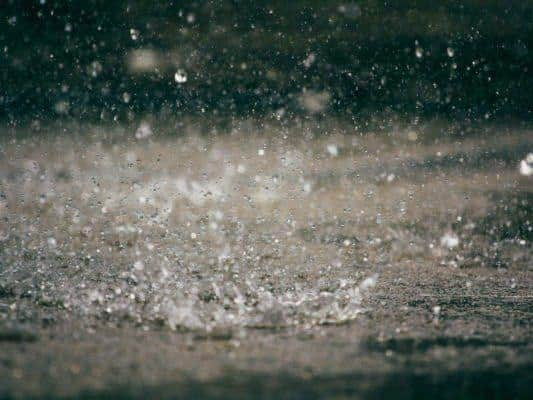
Weather expert projects 'unsettling' rainfall and blustery winds in Aylesbury Vale this week
and live on Freeview channel 276
After a period of fairly benign weather, things have changed in the last few days. The recent dry conditions have been replaced as we move into an unsettled period of weather.
But what has changed?
Last week, high pressure to the south-west of the UK led to settled conditions, although often cloudy with mist or fog. The high wasn’t overhead, however, so it was more unsettled in


Advertisement
Hide AdAdvertisement
Hide Adnorthern parts of the UK with Scotland seeing wind and rain at times.
Now the high pressure has slipped away, allowing areas of low pressure to the north to have a greater influence on our weather. Multiple lows are expected to impact the UK over the next week.
As we move into autumn lows tend to be stronger than they are in the summer. This is mostly because areas of low pressure are primarily caused by temperatures gradients in the atmosphere, with stronger gradients leading to deeper lows.
The temperature difference between the equator and the North Pole increases as we move from summer to autumn as the days shorten and the polar region cools. As the temperature gradient gets stronger between the equator and the North Pole, so does the jet stream.
Advertisement
Hide AdAdvertisement
Hide AdThe jet stream can be thought of as a ribbon of strong winds aloft that is a dividing line between warm, tropical air and cold, polar air. Areas of low pressure tend to follow the path of the jet stream.
The next week or so the jet stream is expected to be directly over the UK at times, bringing bands of rain in from the west and some blustery winds at times, with more of the same as we move towards the weekend!