Stormy weather could be with us by Thursday - column by Ashley Nelis, forcaster at MetDesk in Wendover


The dry spell we saw in recent weeks was fairly unusual for the middle of winter, with stubborn high pressure resulting in a period of around three weeks with negligible rainfall.
In fact, our weather station in Wendover recorded just 0.4mm between January 12 and February 3.
Advertisement
Hide AdAdvertisement
Hide AdFor reference, the average January rainfall in this area is around 70mm.
However, as if a switch were flicked, the Atlantic has recently roared back into life and brought the first substantial rains in almost a month.
Several spells of rain in the past couple of weeks have contributed to 36mm in the first half of February alone, compared to just 22mm in the whole of January and the first part of February. Last Sunday was particularly wet, with 15.8mm falling in Wendover, making it the wettest day of the year so far.
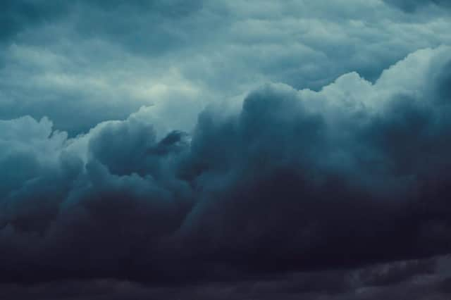
The unsettled theme looks likely to continue through the rest of this week and into the weekend, with a particularly nasty area of low pressure likely to move across the UK on Thursday night and into Friday. This could bring the stormiest spell of weather we’ve seen so far this winter, with strong winds and further heavy rainfall.
There’s little sign of the weather settling down into the weekend either, so those of you looking forward to some early spring-like warmth as the days get longer will likely be disappointed.