Aylesbury Vale in for a shock as cold snap hits with widespread frosts and maybe even snow
and live on Freeview channel 276
This meteorological autumn has been unseasonably mild, with no frosts recorded across the wider Aylesbury Vale area this season.
Meteorological autumn runs from the September 1 to the November 30 and is based on climatological cycles. It is different from astronomical autumn, which is dictated by the position of the Earth relative to the Sun, covering the period between the autumn equinox, which occurs between September 20 and 23, and the winter solstice, which occurs between December 20 and 22.
Advertisement
Advertisement
But why is this important? The first recorded frosts of this meteorological winter occurred just after midnight on December 1, meaning that, in astrological terms, this was not a frost-free autumn. Although coincidental, this frost highlights the upcoming change of season well, since frosts form when temperatures drop below freezing.
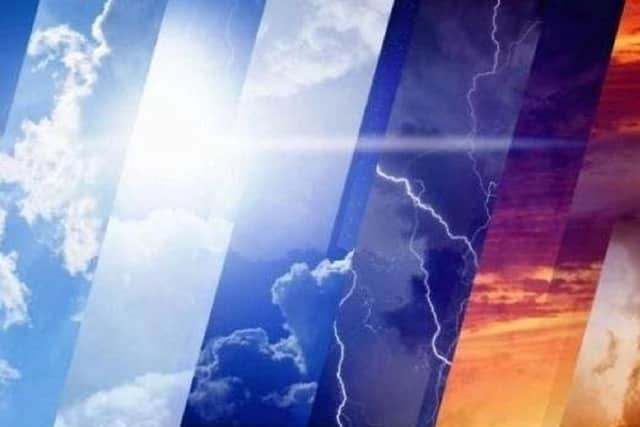

This frost marks a transition to much colder weather, which is set to arrive this week. An area of high pressure over Iceland will allow for northerly winds over the UK, dragging very cold Arctic air southwards.
On Wednesday we will see the first signs of this cold snap, with daytime temperatures hovering just above freezing. The cold will continue throughout the end of the week and into the weekend, with temperatures much below the seasonal average. Unlike the previous season, frosts will be widespread, and there is a possibility that we may even see some snow in the upcoming days. Although temperatures are set to start rising again later next week, this will be a gradual process, staying below the seasonal norm, and potentially bringing some more sleet and snow at times.