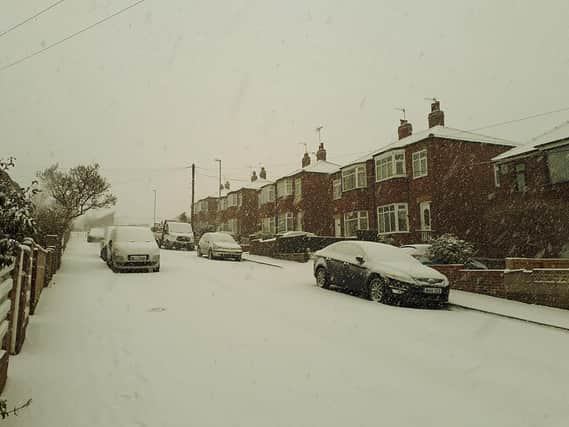
Beast from the East 2 to hit the UK bringing snow showers to Aylesbury


Snow is likely to fall across many parts of northern England on Thursday, with the possibility of a Beast from the East 2 hitting Aylesbury by the middle of next week.
Here's what the Met Office says is in store for Aylesbury:
Outlook for Friday to Sunday:
Friday, mostly cloudy with afternoon showers, locally heavy. Clear skies and widespread frost overnight. Isolated showers on Saturday. Sunday, cold and windy with a chance of snow showers. Turning colder. (Updated: 04:00 (UTC) on Wed 3 Feb 2021)
UK long range weather forecast
Sunday 7 Feb - Tuesday 16 Feb
Advertisement
Hide AdAdvertisement
Hide Ad"Rather cloudy and cold across the UK on Sunday with wintry showers over eastern parts. An area of high pressure then looks to build to the north, and it will likely feel cold or very cold, especially in brisk easterly winds. There is a chance of conditions being dry at times with widespread overnight frosts, although wintry showers can still feed in from the east coast. Any organised areas of cloud and precipitation arriving from the southwest will not progress very far into the country as a result of the high pressure. However, they can bring the potential for widespread snow across areas where they bump into cold air. Patches of ice and other disruptive wintry hazards remain a possibility for all areas."
The BBC wrote to their weather outlook page:
"In mid-February, high pressure is expected to remain over Scandinavia throughout the week, keeping things rather cold.
"This setup is similar to the classic "Beast from the East" from 2018, and there is potential for some heavy snow showers for eastern areas for the first half of the week.
"This is very sensitive to the strength of the high to the northeast, so it is still a bit too early to accurately predict snow amounts, but the greatest chances are in the eastern and central parts of Britain.
Advertisement
Hide AdAdvertisement
Hide Ad"We have high confidence that the high pressure system will develop, and it will turn colder than normal.
"The coldest days will tend to be around midweek as the air from Russia finally arrives in force."
The week beginning February 8 is set to bring the worst of the cold front, as the Met Office have warned that we could be seeing Beast From the East II down South.
The page continues:
"Later in the week, the high in Scandinavia is expected to shift slightly further south and southeast, nearer to Belarus or western Russia.
Advertisement
Hide AdAdvertisement
Hide Ad"This shift should kill off any easterly winds through the North Sea, shifting them more southeast. This is still a cold flow for us in this setup, but much less cold than the first half of the week is expected to be.
"This weather pattern is also drier for the UK, so some crisp afternoon sunshine is expected. Without a cold flow over the relative warm North Sea, the risk of lowland snow showers is also lower.
"The main risk to the mid-February forecast is for the easterly winds to linger for longer into the second half of the week if the high pressure system stubbornly remains over Scandinavia. This would make for a very cold, windy week across the country, but more so for eastern areas where it will feel very raw outside.